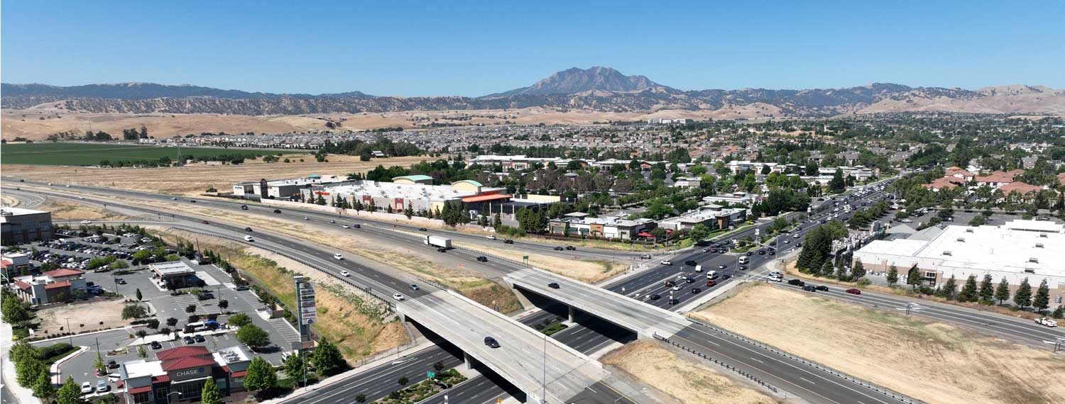
In 1989 Contra Costa County and the Cities of Antioch and Brentwood created the State Route 4 Bypass Authority (Authority) through a Joint Powers Agency Agreement. This agency was established to administer and set policy for the State Route 4 Bypass project, one of three projects funded by the East County Regional Transportation Fee program.
Upcoming Meeting Dates Will be announced soon
Notifications